

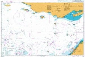
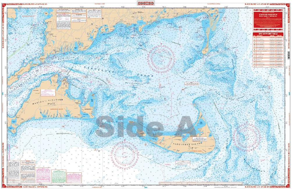
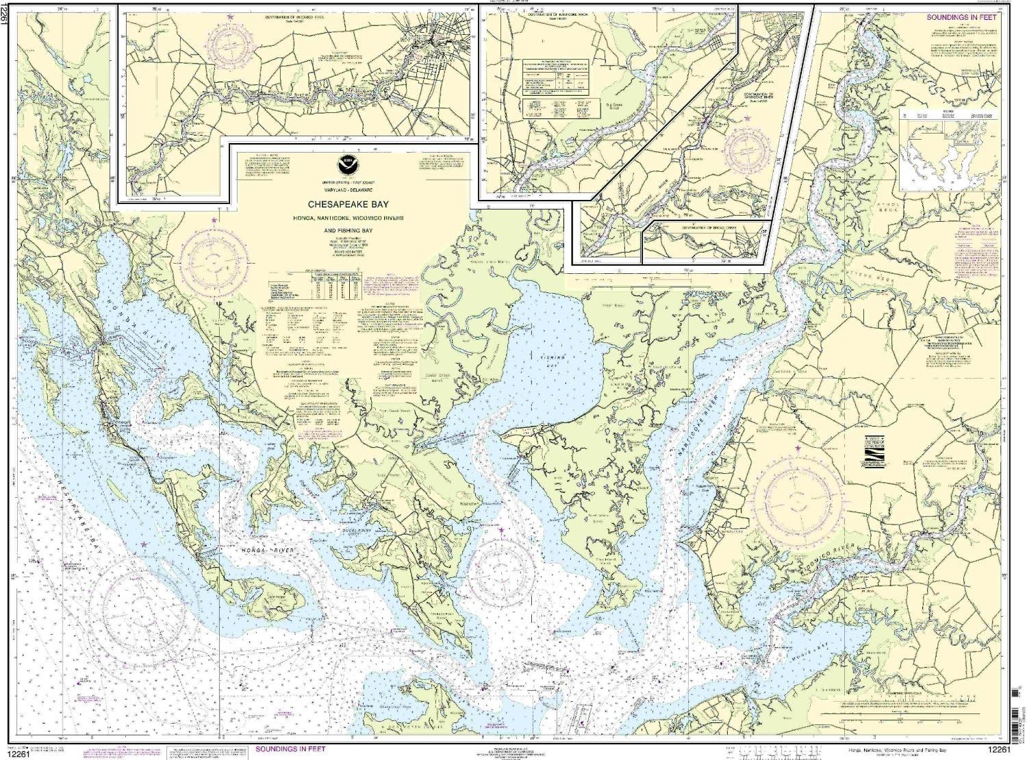
C-MAP Reveal X - Chesapeake Bay to The Bahamas, Map Card for Marine GPS chartplotters
Product details
| Management number | 231424046 | Release Date | 2026/06/18 | List Price | $104.00 | Model Number | 231424046 | ||
|---|---|---|---|---|---|---|---|---|---|
| Category | |||||||||
Upgrade your day on the water & experience the next level of navigation with REVEAL X. This includes all the rich data and features in DISCOVER X, plus premium layers to enrich your time on the water. Level-up your fishing with the game-changing Shaded Relief layer & increase your situational awareness with Satellite Overlay.
- FULL- FEATURED VECTOR CHARTS: Making navigation easy by giving you accurate, up-to-date vector chart detail derived from official Hydrographic Office information
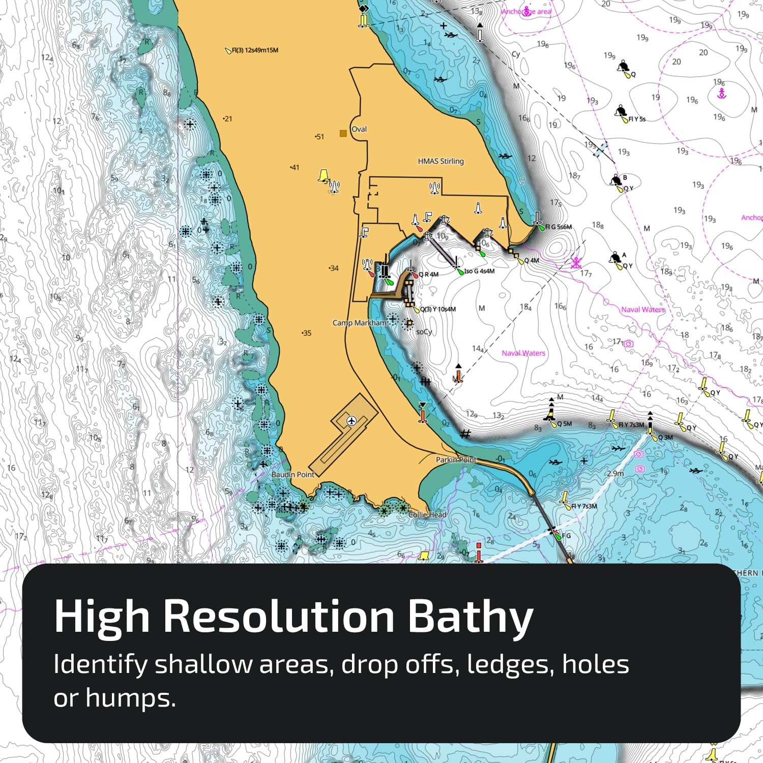
- HI-RES BATHYMETRY LAYER - Helps you identify shallow areas, drop offs, ledges, holes or humps. Now includes the very best of C-MAP HRB data, with integrated Genesis social map data
- SUBSCRIPTION-FREE AUTOROUTING - Automatically plot the shortest, safest route based on detailed chart data and your personalized vessel information
- SHADED RELIEF: Bring the world around you to life, with 3D rendered land and underwater elevation – including areas of Ultra-High-Res Bathymetric imagery – a game-changer for anglers and divers
- CUSTOM DEPTH SHADING: Set a clear safety depth, maintain a paper-like view or create your own custom shading
- COMPATIBILITY: This REVEAL X Chart is only compatible with the latest Simrad and B&G chartplotters running NEON
- INSTALLATION: This product comes programmed on a Micro-SD fitted in a SD card, most chart plotters come with a Micro SD card reader. To use this chart the Micro-SD card needs to be removed from the SD adapter
| ASIN | B0DGQX4S8M |
|---|---|
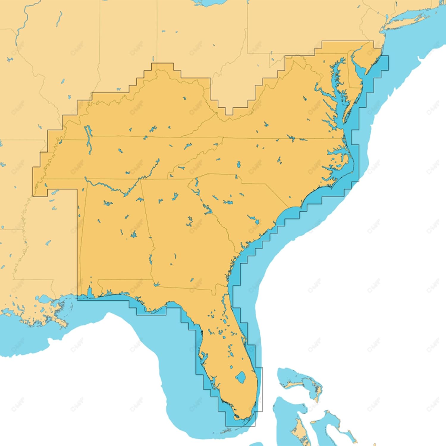
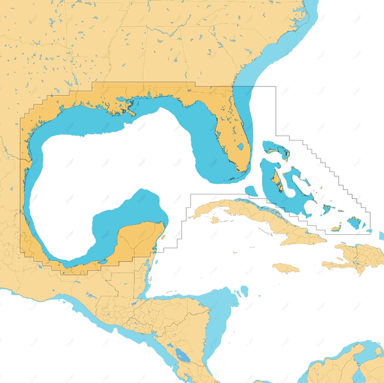
| Map Type | Chesapeake Bay to The Bahamas |
| Brand Name | C-MAP |
| Part Number | M-NA-T-203-R-MS |
| Manufacturer | C-MAP |
| Model Number | M-NA-T-203-R-MS |
| Item Type Name | GPS Maps |
| Included Components | MicroSD Card, SD Card adapter |
| Warranty Description | 2 year manufacturer |


Bestseller ranking
Charts & Maps

Correction of product information
If you notice any omissions or errors in the product information on this page, please use the correction request form below.
Correction Request Form